Climate and Cryosphere Conference 2026

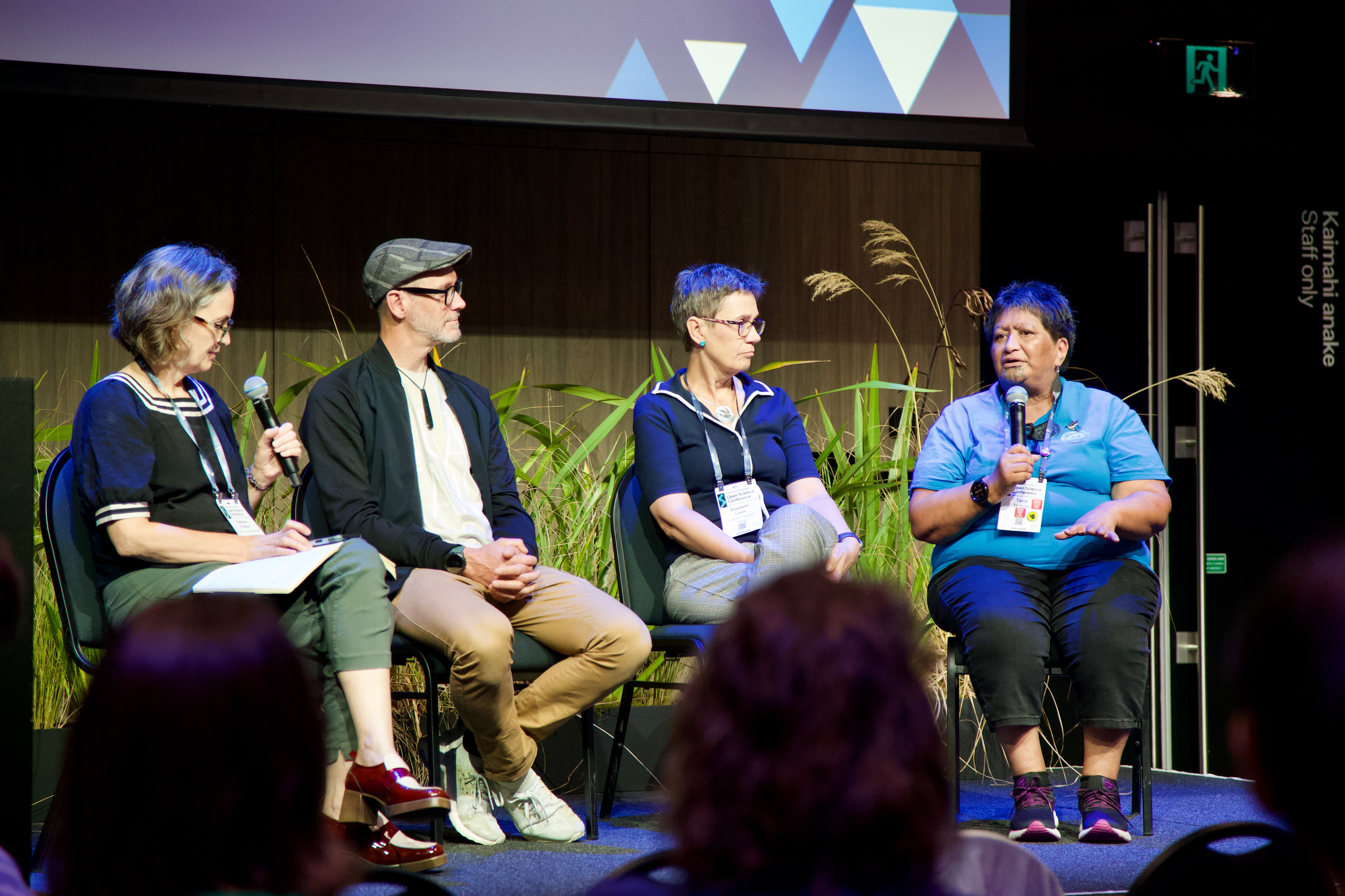
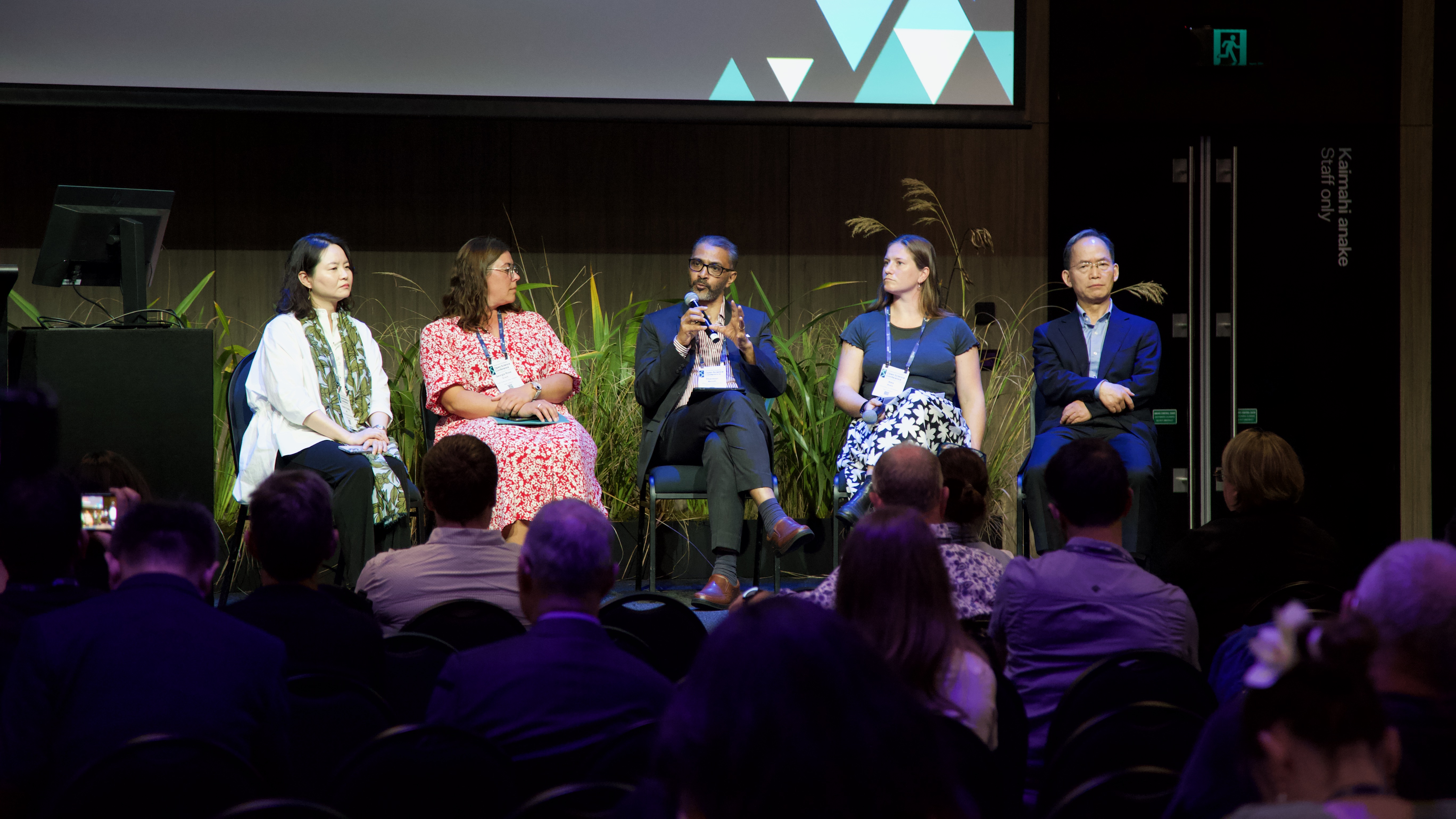
It was fantastic to welcome the international cryosphere community to Wellington in early February for the Climate and Cryosphere Conference 2026, supported by the World Climate Research Programme Climate and Cryosphere Project (CliC) and Scientific Committee on Antarctic Research’s INSTANT research programme. The meeting brought together around 500 researchers, practitioners, and stakeholders from across the world to share the latest science and perspectives on the rapidly changing cryosphere.

A strong theme throughout the conference was the importance of connecting science with communities and decision-making. Sessions highlighted Indigenous Arctic experiences and challenges, approaches to science communication, and new ways of advancing interdisciplinary research. Morning plenaries in particular emphasised “end-to-end” science — bringing together researchers, end-users, educators, and policy stakeholders to better translate climate system understanding into practical decision-making on the ground.

I had the pleasure of convening a Paleoclimate session alongside Bella Duncan, Imogen Browne and Theresa King. The session was one of the largest of the conference, featuring 31 talks and 56 posters. Presentations ranged from exciting new results from the Roosevelt Island Climate Evolution Project (RICE) and ColDEX Ice Core Project ice cores, through to new analytical methodologies, broad spatial and temporal syntheses of paleoclimate records, and advances in modelling approaches.

Photo credit CliC IPO – Matt Wood

The week concluded with a workshop hosted by the INSTANT – Instabilities and Thresholds in Antarctica research programme at Museum of New Zealand Te Papa Tongarewa. Around 70 participants gathered to discuss how Antarctic science can better deliver robust sea-level projections. The workshop was very well received by the community and was attended by several keynote speakers from the conference, highlighting strong interest in translating fundamental science into actionable outcomes.

More broadly, the meeting reinforced just how connected and motivated the cryosphere community remains. Researchers are working across disciplines and regions to deepen our understanding of ice-sheet change and its implications for society.

Several key themes emerged from the discussions:

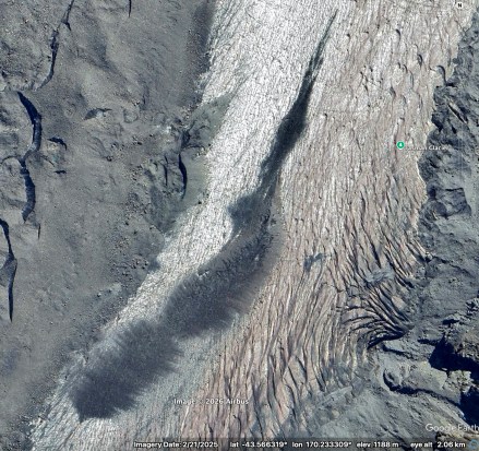
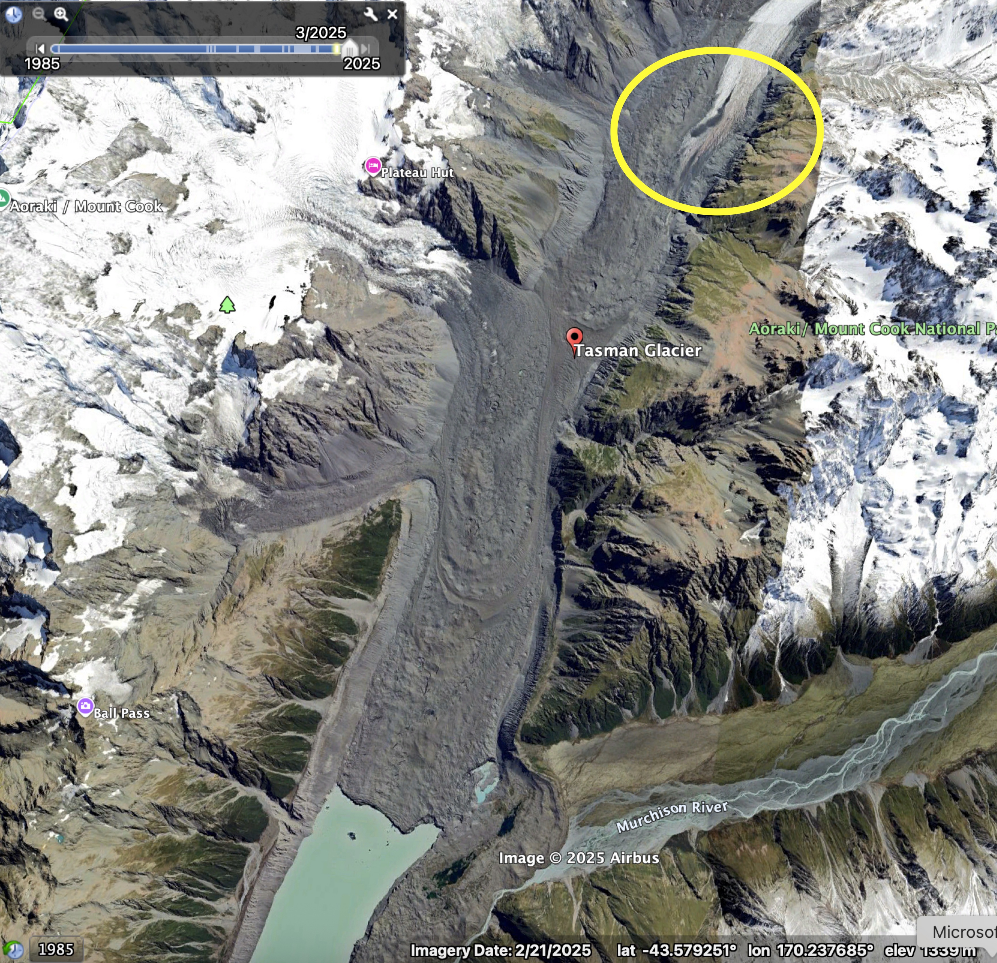
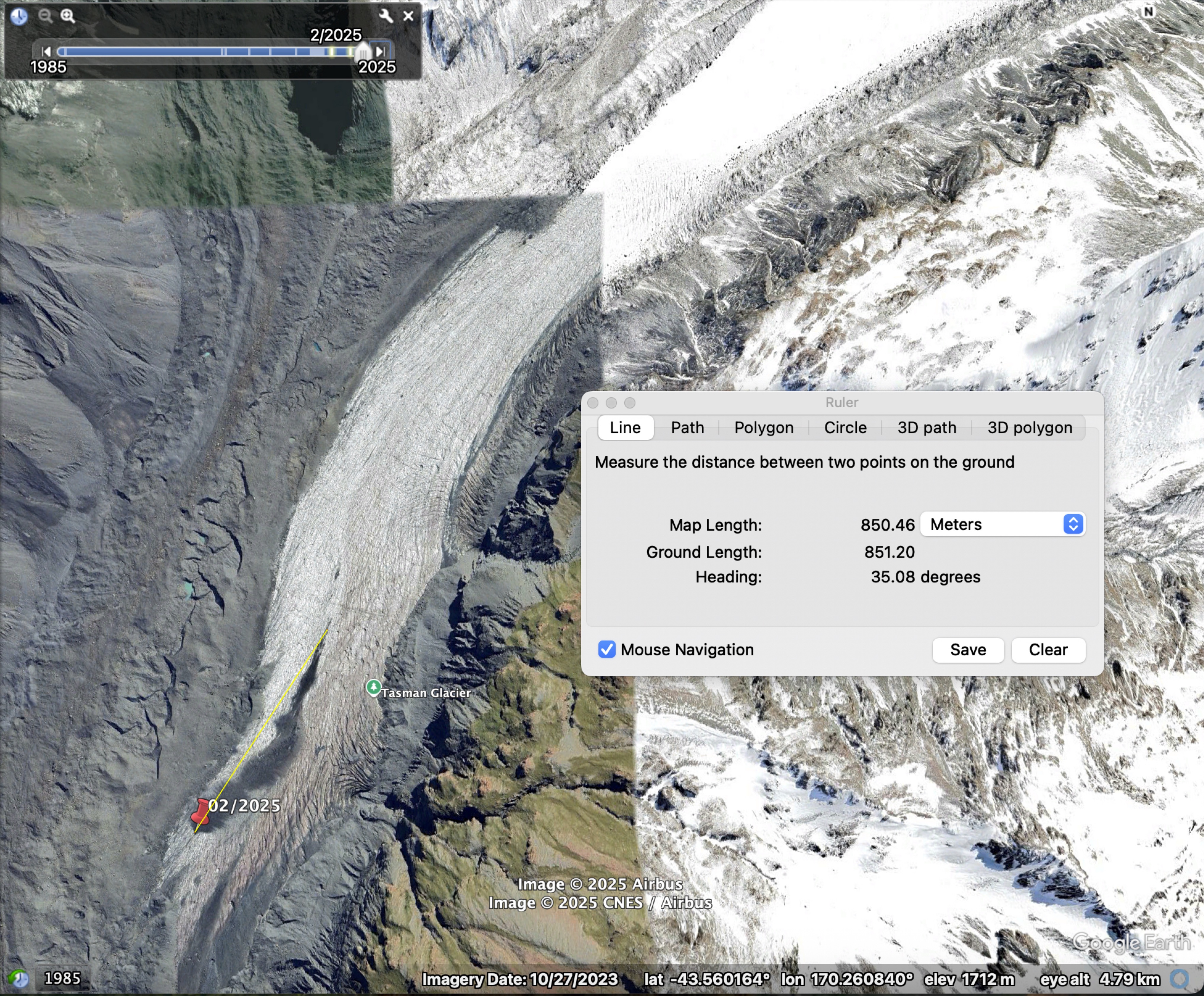
  • Ice shelf and glacier tongue stability: New work is highlighting the complex processes that influence calving behaviour and the stability of ice shelves and glacier tongues.
  • Cascading uncertainties: From socio-economic emission pathways through to climate forcing, model structure, and parameter choices, uncertainties propagate through the system and ultimately affect projections such as future sea-level rise.
  • Regional impacts and responses: Climate risks and impacts are felt differently around the world, meaning that locally appropriate information and solutions are essential for communities and decision-makers.
  • Citizen science opportunities: Participants also highlighted the growing potential for citizen science initiatives to contribute valuable observations, particularly in remote regions where monitoring can be challenging.

Overall, the conference demonstrated both the rapid progress being made in cryosphere science and the strong commitment within the community to ensure that this knowledge supports real-world decision-making.

Photo credit CliC IPO – Matt Wood

Are landslide deposits emerging intact from Haupapa Tasman Glacier?

There’s a small smudge of supraglacial debris on Haupapa Tasman Glacier, positioned just above the upper limit of the continuous debris cover. At first glance, it looks like it might have fallen from a large landslide or perhaps broken off the lateral moraine. Curious, I traced it back in time using Google Earth’s (GE) historical imagery.

Instead of showing a surface source, the images reveal something more intriguing: the debris “smudge” emerges directly from within the glacier—intact, as a single coherent package. When it first appears in the satellite imagery in 2006, it measures roughly 130 m in length. By 2025, it has expanded to around 900 m. The photos below are snapshots of the deposit in the GE images going back in time from 2025 to 2006, with the 2025 position marked with a red pin.

2025
2019
2013
2010
2006

When I mentioned this in passing to Pascal Sirguey, he immediately suggested it might be a landslide deposit that had been buried by snow in the accumulation zone and transported englacially before melting out in the ablation zone.

I find this fascinating. I’ve never before seen a discrete, intact deposit melt out of glacier ice. While I’ve heard of landslides being incorporated into ice, it hadn’t occurred to me that this process might matter for the development of continuous debris cover. At the other glaciers I’ve worked on, debris typically emerges only after becoming fairly well distributed within the ice. For example, at Satopanth glacier near the ELA, debris is scattered evenly across the surface before gradually merging downglacier into a continuous layer. Perhaps on Satopanth the debris is transported to the ice mainly by avalanches, mixing with snow and becoming dispersed. In contrast, on Haupapa, rockfalls from the near‑vertical valley walls may contain little to no snow, so that deposits are buried with little modification.

The upper debris cover on Satopanth glacier, showing a fairly even spread of sediments over the surface. The typical ice tables mushrooming from the ice too.

The GE imagery of Haupapa suggests the emergence of intact landslide deposits could play an equally important—and perhaps even dominant—role in forming the continuous debris layer. On the true left of the glacier, near the lowest extent of debris‑free ice, the surface is lightly sprinkled with sediment that grades into a continuous layer farther downglacier. Elsewhere, however, the upper boundary of the debris cover is strikingly sharp, which is more consistent with discrete deposits melting out of the ice than with widespread, finely distributed englacial sediment.

The upper boundaries of the debris cover.

When I camped on Haupapa last year, a few kilometres downstream of this feature, I thought the hummocks had very high‑relief for a position so close to the debris‑free ice – see the photo below. My past experience has been a gradual increase in hummock size as debris cover thickens downglacier. The “smudge” may help explain the difference: an intact landslide deposit emerging from the ice would produce a strong local contrast in melt rates, accelerating differential melting and generating pronounced surface relief relatively quickly.

Sizeable hummocks 1-2 km downglacier of the debris-free ice (looking north).

The “smudge” has some very cool features up-close too. A feathery morphology that might indicate interactions with melt water, or with thrust faults during englacial transport.

A close-up of the smudge on Haupapa.

Altogether, this small feature on Haupapa hints at a far more dynamic and varied story of debris emergence than I had previously appreciated. The idea that intact landslide deposits can be carried englacially and melt out as coherent blocks adds complexity to my understanding of how debris covers form and evolve. It also underscores how much we still have to learn about the interactions between ice and sediments in these systems—even on a glacier as well studied as Haupapa.

I might have this all completely wrong!! I would love to hear other ideas. Post to the comments and let me know!